Quantifying the 4-dimensional
microenvironment to explain
the coexistence of social insects
To understand how species coexist by mapping micro-scale environmental differences using cutting-edge tools and field research, with a focus on the diverse ant communities of the South African fynbos.
Our vision is of a future where a detailed understanding of organism physiology and behaviour can be combined with environmental knowledge to unravel the ecological mechanisms underpinning species coexistence – enabling strategies for biodiversity conservation and climate resilience worldwide.
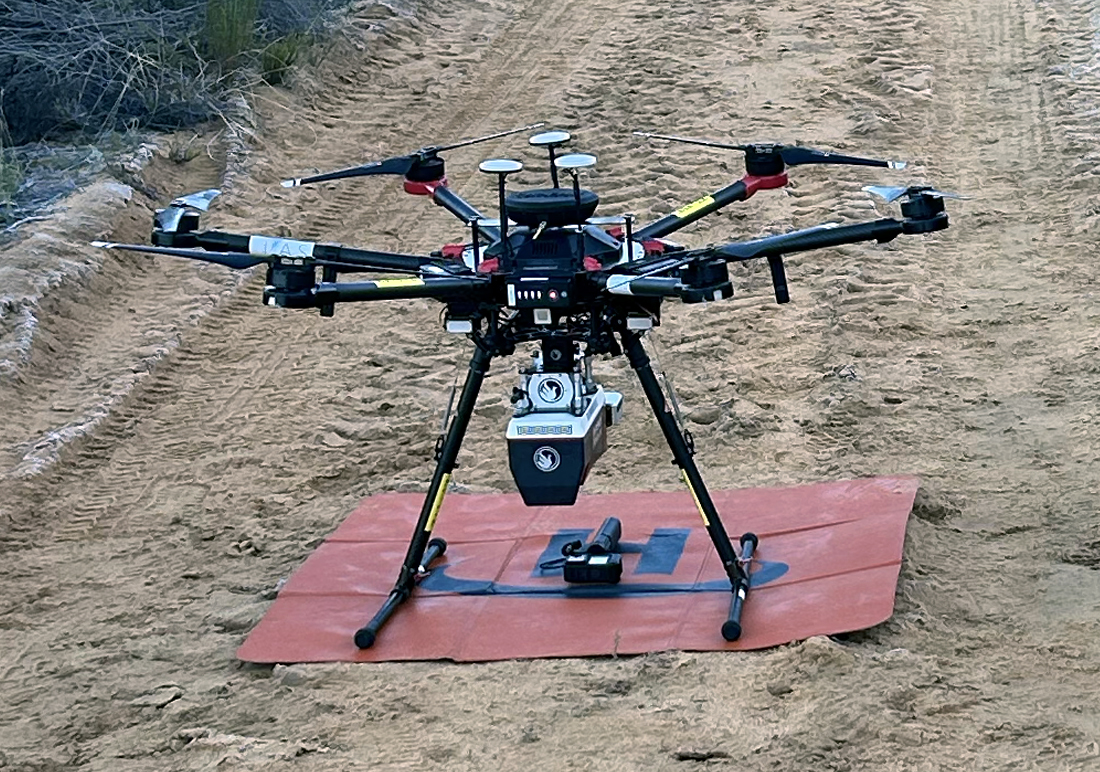
Our strategy is to combine high-resolution LiDAR drone imagery with continuous microclimate monitoring sensors and in-depth field and lab knowledge of species behavioural and physiological tolerances. By doing this, we seek to ask and answer fundamental ecological questions around species coexistence.
How We Do It
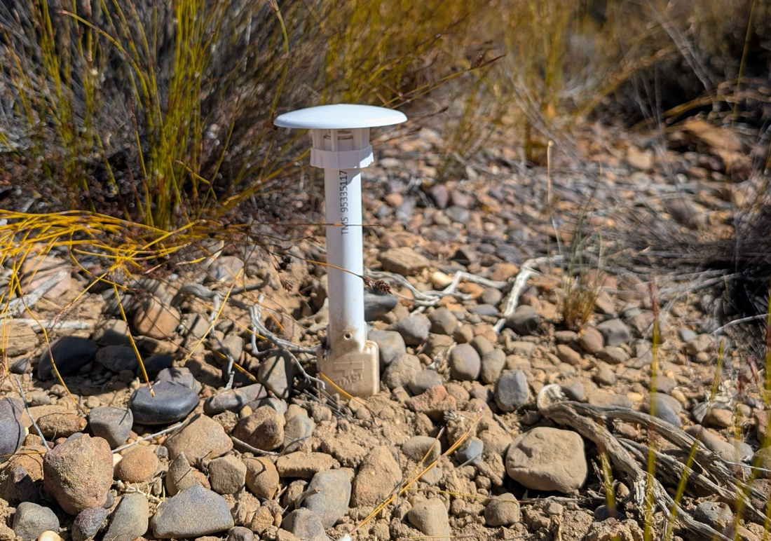
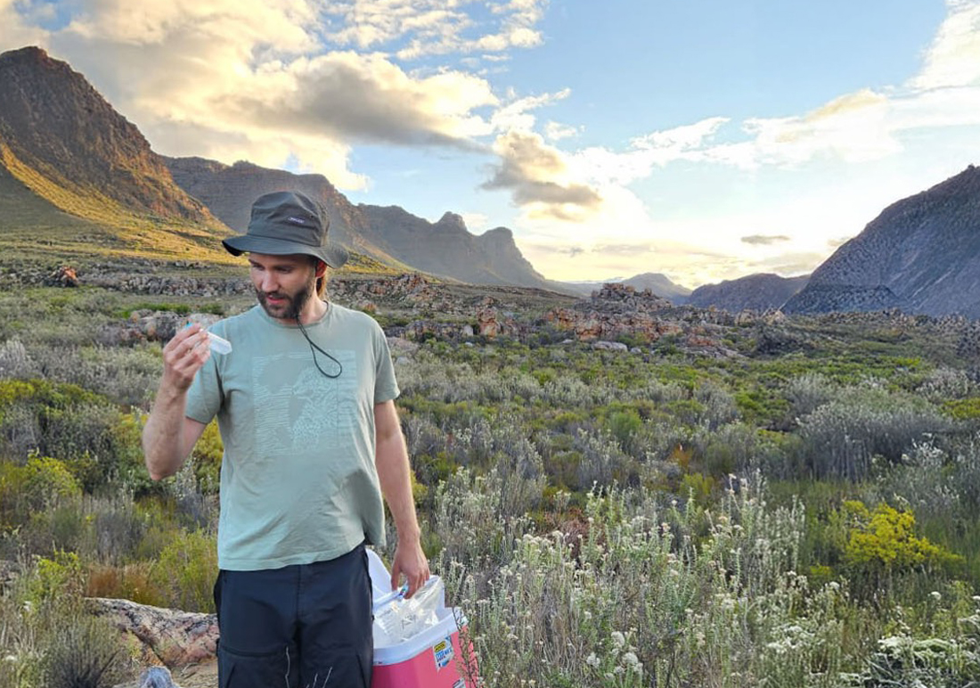
We are integrating high-resolution LiDAR drone data for precise topographic and vegetation mapping with detailed continuous monitoring of above and below-soil temperature and moisture. These data will allow us to map the dynamic microclimate, at centimetre scales, of the South African fynbos. We will pair these microclimate maps with field observations of the foraging behaviour of around 50 different ant species, as well as lab-based estimates of the ants’ thermal and desiccation tolerances.
This multi-modal, micro-scale data collection will enable us to develop spatial models that reveal the specific environmental drivers influencing ant species foraging, distribution, and coexistence patterns.
Through this comprehensive approach, we seek to generate new insights into the ecological mechanisms that maintain biodiversity in the South African fynbos, and in arid ecosystems more generally.”

Our Partners
This project is funded by the Human Frontier Science Programme. It is a collaborative project led by Dr Tom Bishop at Cardiff University, and involving Dr Andrew Davies at Harvard University, Dr Rebecca Senior at Durham University, and Dr Charlene Janion-Scheepers at the University of Cape Town.